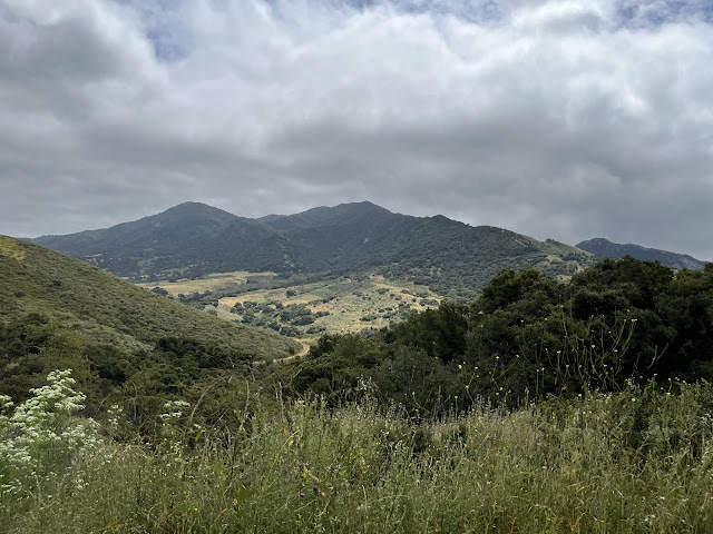
Because both humans and their mounts are still legging up after a lazy rainy winter, we opted to take what is essentially a jeep trail.
No rock scrambling today.
Then two of the riders decided they needed to go fast and took off.
Tobe Mule and Mosca Thoroughbred were just fine taking the slow lane.
We think the experience of the wild is best savored at a slower pace, remarking on the views and the plant life.
We started to see groups of hikers, mostly Mexican families out for a walk on a holiday.
Mosca was not at all happy when one sun-conscious woman came toward us under a large black umbrella, but thankfully she was savvy enough to unfurl it as she approached.
No bicycles, no dogs, just some nice humans whose children got to pet Tobe's nose and add an animal encounter to their day's adventure.
About this time we see the two other people we thought we'd ride with coming back toward us on the trail.
This is Diana Osberg on Tango. Savvy observers may recognize the Rocky Mountain horse coloring that Tobe Mule shares, his mother having been of that breed.
And this is Diana's niece Alexa Kemalyan, riding Blue the Quarter Horse.They were rarin' to go and apparently had scampered up the route on the ridge all the way to the ocean view and then were coming back.
Lucky thing life is full of trails and we can choose the speed at which we travel, and what experiences we are having.
We soon got to this high point where we could see out to sea. Unfortunately, the maritime haze that keeps Santa Barbara such a garden spot was obscuring the islands, and we could only just glimpse one of the offshore oil rigs.If you REALLY squint at the big photo you might be able to see the blip that is the oil drilling platform Harmony.There are many oil platforms in the Channel, huge when you are near them but just a twinkle of lights in the night from shore.But we are far above, looking down into the exclusive enclave known as Hollister Ranch. You can see one of the estates on the ridge line to the right.
But for now, we head slowly back down the hill. At some places the trail is eroded by water, in other parts the grass that has been mowed down makes for a slippery surface. But I can count on my mule to take very careful steps and get us back to our starting point safely.
XXXXX>?<XXXXX
##### <")%>< #######
Mule Trail Blog by Pat Fish
XXX FIN XXX


